
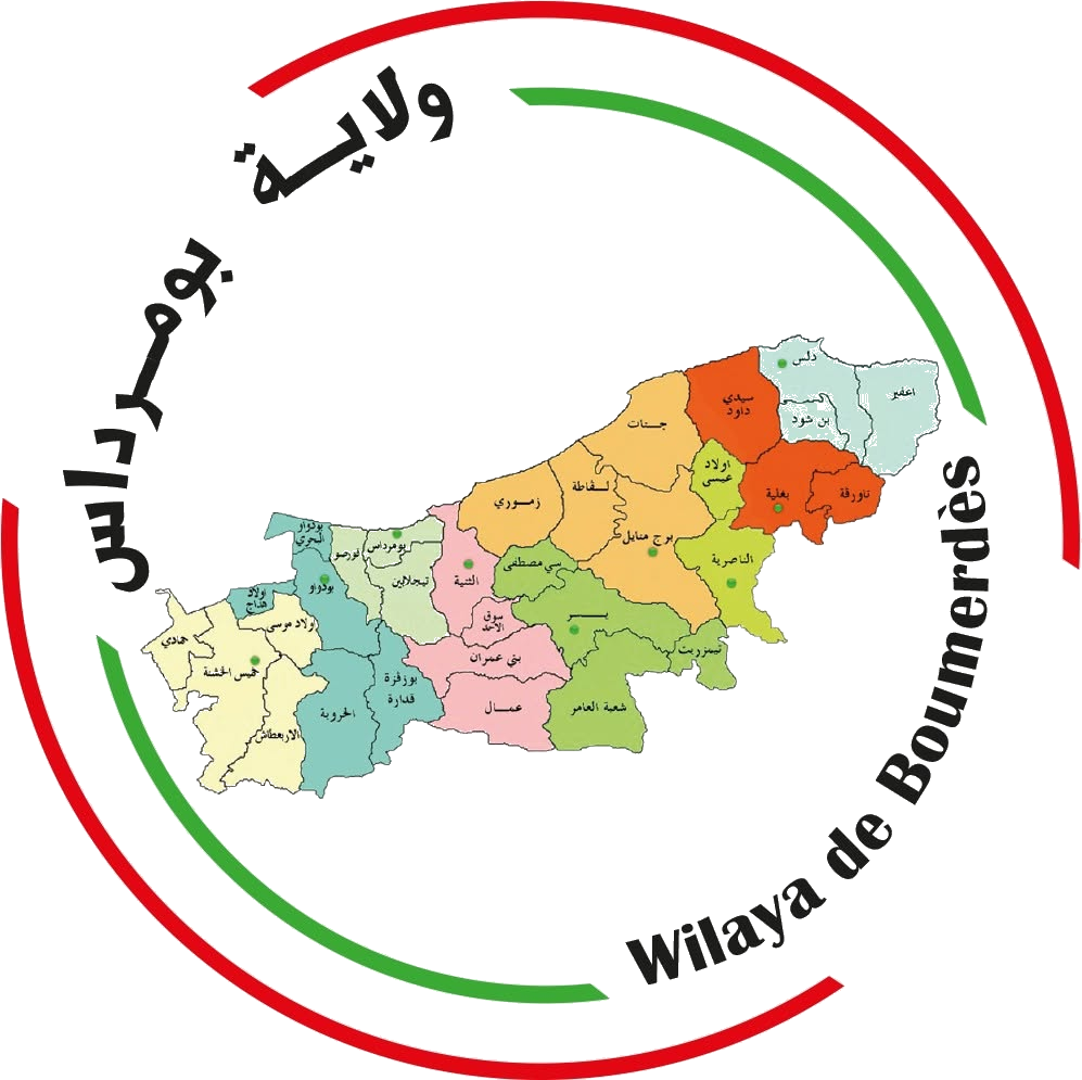
Wilaya of Boumerdès
Boumerdès is a coastal wilaya in northern Algeria, bordered by Tizi Ouzou to the east, Algiers and Blida to the west, Bouira to the south and the Mediterranean Sea to the north. It stretches along a coastline of over 80 km, covers about 1,456.68 km² and has around 802,083 inhabitants. The name Boumerdès (formerly “rocher noir”, black rock) emerged in the early 1960s, when it was chosen as the seat of the Provisional Executive that managed Algeria's affairs under Abderrahmane Farès, following the Évian Accords, where the national flag was raised after the recovery of national sovereignty.
Historical overview
Boumerdès's history dates back to prehistory, passing through Phoenician (500–146 BC), Roman (42–431), Vandal (431–534) and Byzantine (534–707) periods. In 707 it came under Islamic rule after its conquest by Moussa Ibn Noçaïr. It holds important coastal heritage sites such as Dellys (Rusuccurus), Cap Djinet (Cissi Municipium) and Zemmouri (Rusubbicari).
Area & tourism assets
Seaside tourism
107 km coastline, 57 beaches of which 47 are open to swimming.
Eco-tourism
Green spaces, forests and water bodies (Keddara dam) supporting sports, fishing, climbing and hiking.
Cultural tourism
Archaeological sites such as the Dellys casbah, the Zemmouri site and the Dellys lighthouse.
Scientific tourism
The University of Boumerdès, a hub of scientific influence, alongside several institutes of national and African scope.
Geography & climate
Located in north-central Algeria. Borders: Mediterranean Sea (north), Bouira (south), Algiers (west), Tizi Ouzou (east). Mediterranean climate — cold and wet in winter, hot and dry in summer; annual rainfall 500–1,300 mm; average temperature 18 °C on the coast, 25 °C inland.
Demographics
Population reached 801,068 in 2018, with the highest densities in Ouled Hedadj (4,183 inhab/km²) and Boumerdès (2,812), and the lowest in Ammal (174).